Hiking
in Monestiés
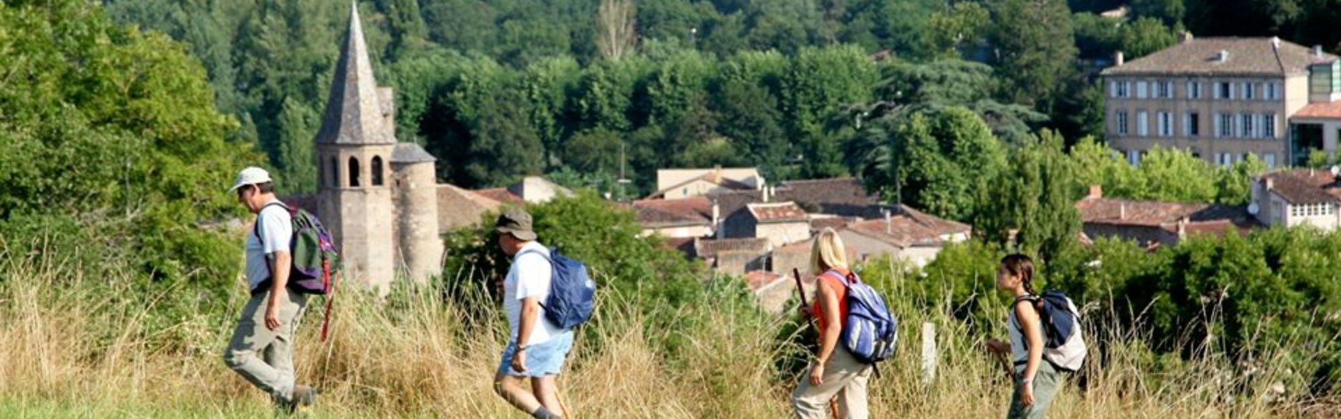
Willing to breathe some fresh air? One of the best ways to experience the beautiful landscapes around Monestiés is with your own two feet!
The area offers trails ranging from short and easy walks to multi-day walking adventures.
Starting point: Place de la Mairie – Saint-Martin Laguépie
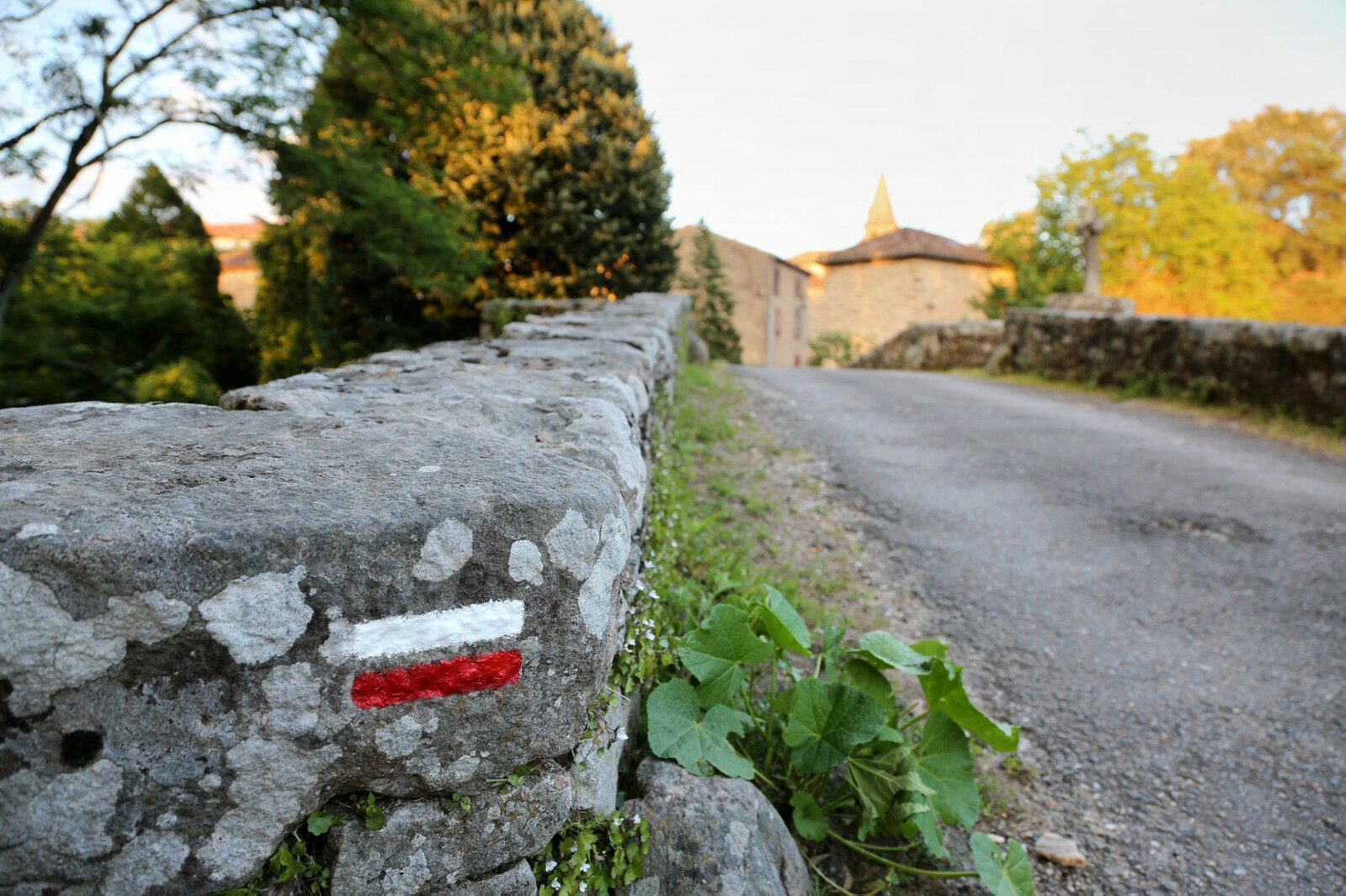
Markings: follow the white and red markings | GR®36, the Crossing of the Tarn from North to South232 km trail that offers hikers a wonderful walk through the mosaic of Tarn landscapes. This circuit of Great Hiking of a distance of about 232 kilometers, is a formidable escape to meet all the splendors that characterize the department of Tarn. You will find all kinds of natural and heritage landscapes that will be filled and amazed. Thus we can recall the Causses of the northwest of the department, the medieval bastides, the plain of the Tarn with in particular the isthmus of Ambialet, the granite plateau of the Sidobre and the Black Mountain to the south… |
---------------------------------------------------------------------------------------------------------------------------------------------------------------------------------------
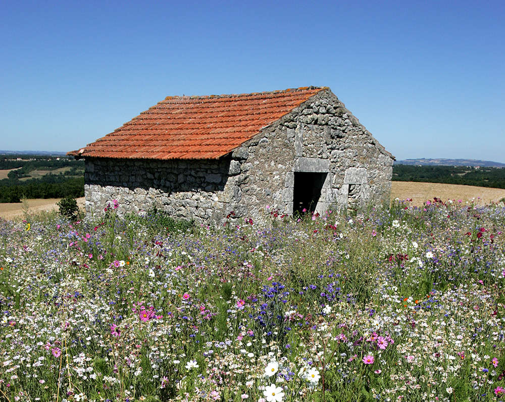
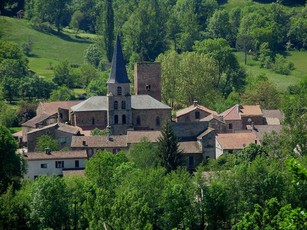
« La Vallée de la Zère » tour (Zère valley)On the Cérou left bank, stream flows from Aveyron, between the medieval cities of Cordes and Monestiés, rises through woods, the bourg de Salles. Nestle around its church, listed historical monument, shelters four classifyed statues which embody the four vertues. It gives us a glimpse of its historical vestiges. A donjon, few towers today embedded in the facades, scars of the castle and of the fortified wall, prove again, how was life during the Middle Ages. |
---------------------------------------------------------------------------------------------------------------------------------------------------------------------------------------
Departure point : Fountain’s square – Monestiés Travelled distance : 6 km Tour time : 1 h 30 Minimum altitude : 205 m – Maximum altitude : 318 m Tour difficulty : easy Track marking : follow the panels « Circuit de la Borie Blanche » | La Borie Blanche tourThis hike on the hills surrounding Monestiés offers, a beautiful view on the medieval village and on the Ségala’s valleys called « puechs »… After passing through the Lauzeral forest, you will roam in the Cérou valley’s meanderings, by the old railway of Carmaux-Monestiés. Think about taking a torch, you will go through a tunnel to reach Monestiés. |